Introduction
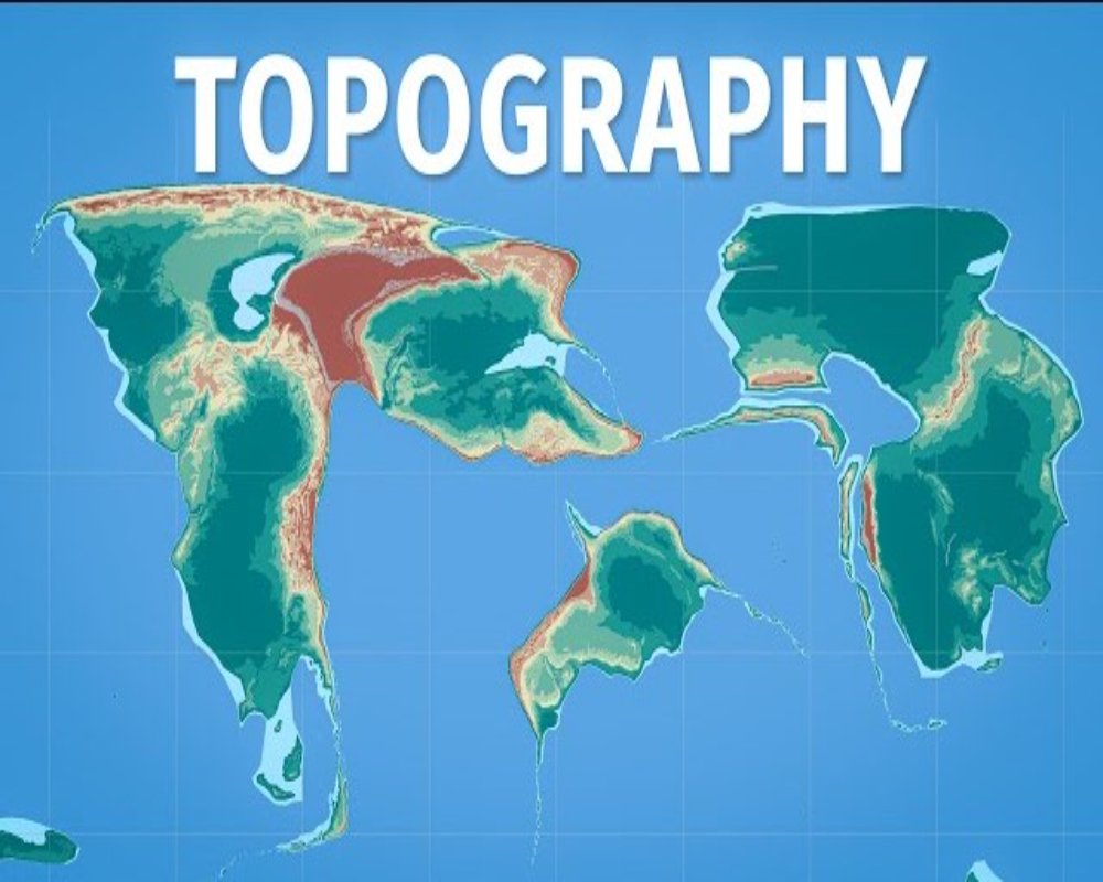
Topography—the natural physical features and shape of the land—has a direct and substantial influence on how industrial land can be used, developed, and expanded. It affects everything from site preparation and construction costs to accessibility, drainage, environmental impact, and long-term operational viability. Understanding topographical features such as elevation, slope, land contours, and surface stability is essential for informed decision-making in industrial planning. A site’s topography can either support efficient development or introduce significant engineering, logistical, and financial challenges.
Impact on Site Preparation and Construction Costs
Flat or gently sloping land is generally preferred for industrial development because it requires minimal grading and earthwork. Such sites facilitate the easy construction of large-scale buildings, roads, loading areas, and storage yards without extensive alterations to the landform. On the other hand, uneven, hilly, or steep terrain often demands costly grading, excavation, and retaining structures to create a level surface. These added costs can significantly affect project feasibility, especially when industrial uses require large, uniform ground coverage.
In addition, areas with rugged topography may present geological constraints such as rock outcrops, unstable slopes, or soft soil pockets that complicate foundation design and construction. Such conditions increase engineering complexity and extend development timelines.
Influence on Drainage and Flood Risk
Topography determines the natural flow of water across the land. Flat sites may have poor natural drainage, leading to waterlogging or flooding during heavy rainfall. Conversely, steeply sloped land encourages rapid runoff, which can cause erosion, sedimentation, and challenges in water management.
An ideal industrial site should balance elevation and slope to allow effective drainage while minimizing the need for artificial stormwater control systems. Poorly planned developments on flood-prone lowlands or along natural drainage channels are at risk of water damage, operational downtime, and costly infrastructure failures.
Effect on Accessibility and Transportation Infrastructure
Topography plays a crucial role in determining how easily a site can be accessed by vehicles and how internal circulation can be designed. Gentle slopes or level ground are easier and cheaper to connect to public roads and transportation networks. They also allow for the efficient layout of driveways, truck loading bays, and internal roads essential for smooth industrial logistics.
In contrast, steep gradients can hinder access for heavy vehicles, increase wear on transport equipment, and necessitate the construction of switchbacks, ramps, or bridges. These adjustments increase both the cost and complexity of infrastructure development and may limit the type of industries that can effectively operate at the site.
Implications for Land Utilization and Expansion
Flat or moderately sloped terrain allows for better land utilization, enabling flexible facility layout, future expansion, and the integration of auxiliary functions such as parking, landscaping, and utilities. Industrial operations that require scalability—like logistics centers or manufacturing parks—benefit significantly from terrain that allows for modular growth.
Challenging topography, however, may restrict usable space and limit options for expansion. Retrofitting additional facilities onto uneven or confined land may require significant reengineering or compromise operational efficiency. In extreme cases, terrain may render sections of the land unusable, reducing overall project value.
Environmental and Regulatory Considerations
Topography also influences environmental sensitivity and land use regulations. Sloped lands are often more prone to erosion and landslides, particularly when vegetation is removed for industrial construction. Regulatory authorities may impose restrictions on industrial use in areas with steep gradients or near ecologically sensitive zones such as hills, wetlands, or water bodies.
Additionally, industrial development on elevated or scenic terrain may face resistance from local communities or planning authorities due to visual impact, potential ecological disruption, or historical preservation concerns.
Role in Utility and Infrastructure Planning
The design and implementation of utilities—such as water supply, sewage systems, electricity lines, and telecommunications—are all affected by topography. Gravity-based systems like stormwater and wastewater drainage work more effectively on sloped land, but require careful engineering to control flow and prevent overflow or backflow issues.
Electrical substations, water tanks, and pipeline routes must also be adjusted based on elevation and landform stability. Sites with challenging topography may require more extensive utility rerouting, pressure management, or structural supports, increasing setup and maintenance costs.
Conclusion
Topography is a fundamental determinant of how land can be used for industrial purposes. It influences construction feasibility, infrastructure layout, accessibility, environmental impact, and overall site efficiency. While flat and stable landforms are ideal for most industrial activities, strategic planning and advanced engineering can sometimes adapt more challenging terrain to industrial use—albeit with higher costs and complexity. Thorough topographical surveys and geotechnical assessments are essential during site selection to ensure that the land can support current operations and accommodate future growth. By integrating topography into industrial land use planning, developers and investors can reduce risk, control costs, and build more resilient and sustainable industrial environments.
Hashtags
#Topography #IndustrialLandUse #GeographyMatters #LandUsePlanning #UrbanDevelopment #EnvironmentalImpact #SiteSelection #InfrastructureDevelopment #EconomicGeography #SpatialAnalysis #LandUsePolicy #TerrainInfluence #IndustrialGrowth #SustainableDevelopment #GeospatialAnalysis #RegionalPlanning #LandManagement #NaturalResources #IndustrialSite #TopographicAnalysis


