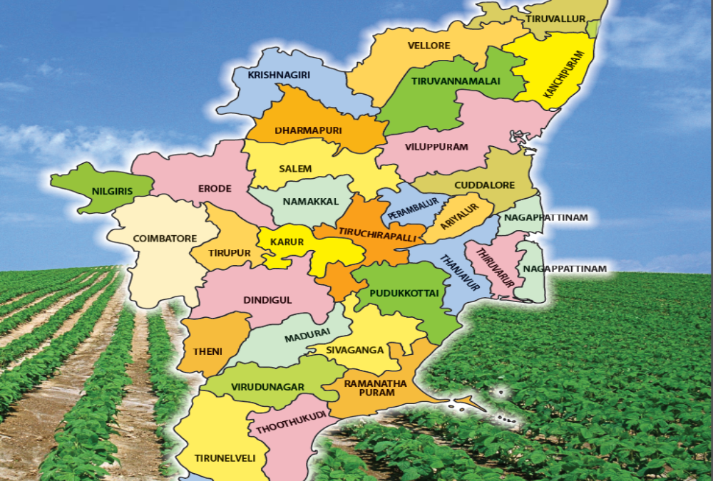
In a major step toward sustainable industrial development, the state has officially issued an eco-zoning map to guide future industrial land planning and allocation. The map categorizes land parcels based on environmental sensitivity, available natural resources, and permissible industrial activities, aiming to align economic growth with ecological preservation. Industrial zones will now be classified into high, moderate, or low environmental sensitivity areas, with corresponding restrictions and planning guidelines. Developers and investors must consult the eco-zoning classifications before proposing industrial projects, ensuring early compliance with environmental regulations. Authorities believe this proactive mapping will reduce future project delays, minimize ecological risks, and streamline environmental clearance processes. The eco-zoning initiative reflects a significant shift toward responsible, future-proof industrial land management.
The eco-zoning map was developed using satellite imagery, ground surveys, biodiversity assessments, and water resource analyses to create a comprehensive land categorization framework. High-sensitivity areas, such as regions close to forests, wetlands, or protected reserves, will face strict restrictions or be ruled out for industrial development. Moderate-sensitivity zones may allow low-impact industries under stringent environmental safeguards, while low-sensitivity areas will be prioritized for major industrial and logistics projects. Experts highlight that this mapping will provide clarity to developers, reduce regulatory ambiguities, and encourage investment in sustainable industrial parks. Analysts also note that the eco-zoning system will influence land pricing, with low-sensitivity zones commanding premium valuations for their development-readiness. Eco-zoning is set to become a critical pillar of future industrial site selection strategies.
Looking ahead, authorities plan to update the eco-zoning map periodically, factoring in environmental changes, infrastructure development, and climate resilience data. The eco-zoning classifications will also be integrated into the state’s digital land banks, industrial park master plans, and land guidance value calculations. Investors and developers are advised to align their project planning with eco-zoning categories early in the feasibility stage to avoid costly redesigns or approval delays. Policymakers predict that eco-zoned industrial development will enhance the state’s competitiveness in attracting global green investments and ESG-compliant industries. Ultimately, the issuance of the eco-zoning map marks a transformative step toward building industrial corridors that are economically vibrant yet environmentally responsible. Sustainable land planning is now firmly at the heart of India’s next phase of industrial growth.

