Introduction
Investigating the history of land use is a vital part of the due diligence process, particularly for industrial, commercial, and infrastructure projects. A land use history investigation helps determine how a property has been used over time, revealing patterns of development, previous ownership, environmental impacts, and potential legal or regulatory concerns. Understanding past land activities is essential for assessing suitability for future development, detecting contamination risks, and avoiding conflicts with zoning regulations. By employing detailed investigation methods, buyers, developers, and investors can make informed decisions that align with both environmental and operational requirements.
Reviewing Historical Land Records
The primary method of investigating land use history is examining official land records maintained by local revenue departments, municipal bodies, and land registries. These records include:
- Title deeds and transfer documents
- Mutation entries and property tax records
- Encumbrance certificates and land survey maps
These documents provide insights into the chain of ownership, land classifications, and any changes in use, such as agricultural conversion to industrial or commercial zones. By tracing historical transactions, one can determine the legal validity of the current title and detect any disputes or irregularities over time.
Analyzing Old Cadastral and Survey Maps
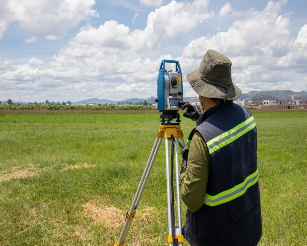
Cadastral maps and topographic surveys offer spatial evidence of how the land has evolved. These maps detail boundaries, plot dimensions, and the location of natural features such as water bodies, vegetation, or elevation changes.
By comparing historical and current survey maps, it is possible to identify land modifications such as encroachments, illegal subdivisions, or changes in land cover. Government archives, land revenue departments, and planning agencies are valuable sources for obtaining such maps.
Utilizing Aerial Photography and Satellite Imagery
Aerial photographs and satellite images serve as powerful tools in tracking land use changes over time. These visual records allow investigators to:
- Monitor changes in vegetation, construction, or water drainage
- Detect signs of past industrial activity, dumping, or excavation
- Observe urban sprawl, encroachments, or alterations in surrounding areas
Imagery can be sourced from national remote sensing agencies, GIS platforms, or commercial satellite data providers. Time-lapse visual analysis enhances understanding of long-term trends and environmental degradation.
Consulting Local Authorities and Land Use Plans
Municipal bodies and urban planning authorities maintain master plans, zoning maps, and development control regulations that reflect official land use designations and future planning goals. Reviewing these documents helps confirm:
- The zoning history of the land and whether any reclassification has occurred
- Any proposed infrastructure projects, road expansions, or public utility developments
- Restrictions on development due to planning norms or environmental designations
These insights are critical in determining whether the past and current land use aligns with its intended future use, especially in industrial or commercial development.
Conducting Environmental Assessments and Soil Tests
Land that has been previously used for heavy industrial, chemical, or mining purposes may carry environmental risks. To uncover these, due diligence may involve:
- Phase I Environmental Site Assessments (ESA) to review historic uses
- Soil and groundwater testing to detect contamination from past activities
- Verification of historical hazardous material storage or waste disposal
These tests help identify whether the site requires environmental remediation or carries legal obligations under environmental protection laws.
Interviewing Past Owners, Tenants, and Local Residents
Oral history can provide valuable insights that may not be recorded in documents. Speaking with former landowners, long-term tenants, and local community members can reveal:
- Informal land uses or encroachments
- Past industrial activity, accidents, or disputes
- Unregistered developments or changes in natural features
This qualitative method adds depth to the investigation and may help uncover hidden issues not evident in public records.
Accessing Archived News, Reports, and Government Records
Archived media reports, research studies, or government publications may document significant events such as environmental violations, industrial accidents, legal conflicts, or redevelopment efforts related to the land. These sources include:
- Local newspapers and historical archives
- Environmental impact studies and public hearing records
- Reports from regulatory authorities or planning commissions
These records add historical context and can serve as verification tools during the assessment process.
Conclusion
A detailed land use history investigation is essential for identifying potential risks, verifying suitability, and ensuring compliance before purchasing or developing a site. By combining documentary review, spatial analysis, environmental testing, and community insights, stakeholders can gain a comprehensive understanding of the land’s background. This proactive approach helps mitigate legal, environmental, and financial risks while supporting responsible and strategic land use planning. In today’s complex regulatory and environmental landscape, thorough land history analysis is not just prudent—it is a necessary step toward successful and sustainable development.
Hashtags
#LandUseHistory #HistoricalInvestigation #LandUseResearch #EnvironmentalStudies #GeographicAnalysis #UrbanPlanning #SustainableDevelopment #CulturalHeritage #LandUseChange #ArchaeologicalMethods #SpatialAnalysis #EnvironmentalHistory #LandManagement #FieldResearch #DataCollection #GISMapping #CommunityPlanning #EcologicalImpact #LandUsePolicy #ResearchMethods


