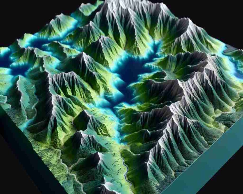
Topography and proximity have emerged as crucial new indicators in the rating and valuation of industrial land, reshaping how investors, developers, and policymakers assess site potential. Authorities and land planners are recognizing that flat, easily developable land reduces construction costs and timeframes, making topographical features a critical evaluation factor. Similarly, proximity to highways, ports, airports, freight terminals, and large urban centers has become central to industrial feasibility studies. These factors are now formally influencing industrial land ratings, which are being used to guide both market pricing and policy incentives. By prioritizing physical suitability and strategic location, valuation models are becoming more aligned with real-world development dynamics. This trend is creating a more nuanced, infrastructure-sensitive approach to industrial land assessment.
Industrial zones with favorable topography and excellent proximity metrics are commanding higher guidance values and experiencing faster absorption rates in land auctions. Developers are actively seeking plots that minimize site preparation costs and maximize logistical efficiency, resulting in concentrated demand for prime-rated lands. Governments are responding by mapping land parcels with detailed topographical surveys and connectivity indices to better inform investors. Analysts note that ignoring these factors can lead to hidden project costs, delayed approvals, and operational inefficiencies. As a result, industrial land ratings are evolving from basic location-based assessments to multidimensional evaluations incorporating terrain, access, and utility infrastructure. This shift is also encouraging better master planning of industrial estates to maximize land utility and economic outcomes.
Looking forward, topography and proximity are expected to become formal pillars of industrial land management frameworks, with digital land banks publishing these ratings transparently for investors. Policymakers are planning to integrate topographical risk factors like flood zones, soil stability, and slope gradients into industrial land classification systems. Proximity analysis will increasingly use advanced geospatial tools to model drive times, connectivity quality, and multimodal transport linkages. Experts believe this approach will result in better capital allocation, faster project execution, and improved regional industrial competitiveness. By refining how industrial land is rated, the market can more accurately differentiate between land with genuine development potential and land requiring heavy interventions. The elevation of topography and proximity as key indicators marks a significant evolution in how industrial land ecosystems are being shaped for the future.


