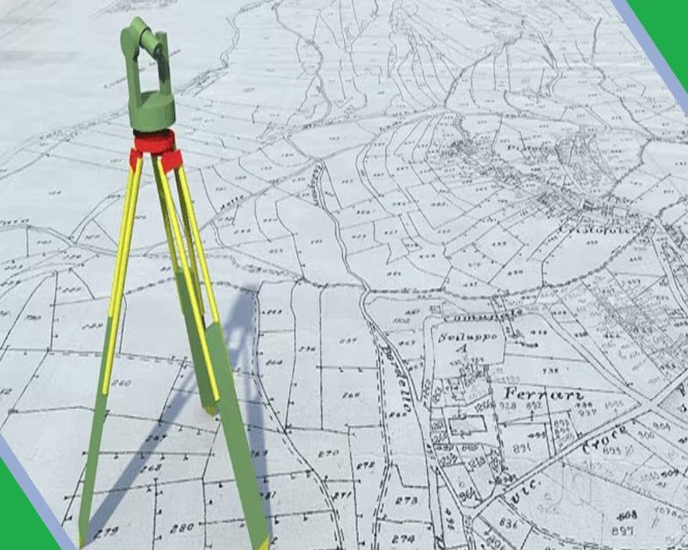
Boundaries Defined in the Deed
The boundaries of a property, as stated in the registered sale deed or patta document, provide the legal and physical limits of ownership. These are typically described using cardinal directions and reference to adjoining land parcels, public infrastructure, or fixed landmarks. For industrial land, the deed may define boundaries as follows:
1. Cardinal Direction Format
The deed commonly lists the boundaries using the four main directions—North, South, East, and West—with the adjacent landowner’s survey number, road, or identifiable feature for each side.
Example Format:
- North: Bounded by Survey No. 125/3, owned by M/s ABC Industries Pvt Ltd
- South: 12-meter-wide internal industrial access road maintained by the development authority
- East: Survey No. 126/1, vacant industrial plot allotted to M/s DEF Logistics
- West: Government land reserved for utility corridor or green buffer (e.g., transformer yard or open drain)
2. Reference to Physical Landmarks
In some cases, especially older deeds, boundaries may reference fixed physical objects or geographical features.
- Large trees, water tanks, stone markers, or wells
- Earthen bunds, fencing lines, or access gates
- Distance from the nearest road junction or utility pole
These are often less reliable and require physical verification through a field measurement sketch (FMB) or a revenue sketch (chitta or map extract).
3. Dimensions and Area
While boundary directions define adjacency, the deed also specifies:
- Total extent (in hectares, acres, square meters, or cents)
- Individual side lengths, usually in meters or feet
- Shape of the plot (rectangular, L-shaped, irregular)


