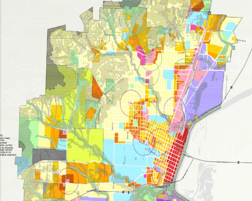
Defined by Local Zoning Ordinance and Maps
The current zoning classification of the land is established by the local city or county zoning authority and determines how the property can legally be used. It is typically designated on the official zoning map and described in the zoning ordinance.
- Common zoning types include Industrial (I), Commercial (C), Agricultural (A), Residential (R)
- Zoning governs allowable uses, density, setbacks, height limits, and lot coverage
- The classification is identified by a code (e.g., I-1, M-2, C-3) tied to specific land use regulations
Confirmed Through Local Planning or Zoning Department
To determine the official zoning designation, property owners or developers can contact the local planning or zoning department or use online GIS zoning maps if available.
- Zoning verification letters can be requested for formal documentation
- Online zoning portals often provide interactive maps searchable by parcel number or address
- Zoning staff can also clarify overlay zones, conditional uses, or recent zoning amendments
May Include Special Conditions or Overlays
In some cases, the land’s base zoning may be accompanied by overlay zones or conditional zoning requirements that affect development rights and review procedures.
- Examples include floodplain overlays, historic districts, or transportation corridors
- Overlay zones may impose additional design standards or use restrictions
- Conditional zoning may allow specific uses only with approval or subject to certain conditions


