Site Elevation Details
According to the topographic survey and Environmental Site Assessment (ESA) completed in March 2023, the site lies at an average elevation of 48.7 meters above mean sea level (MSL). The terrain is gently sloping from the northeast to the southwest, with a gradient of 1.5%, allowing for natural runoff. The elevation is consistent with surrounding industrial plots and conforms to development guidelines issued by the local planning authority.
Natural Drainage Patterns
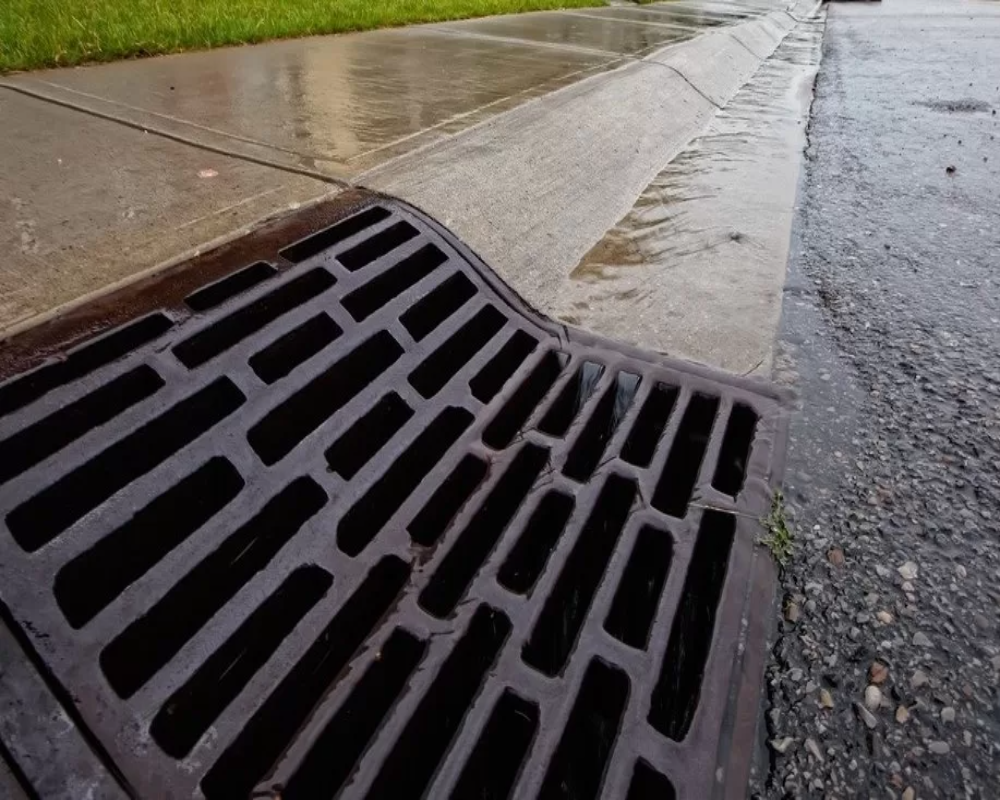
The site exhibits natural surface drainage, with stormwater runoff directed toward an open peripheral drain running along the western boundary. This drain connects to a secondary outfall channel located approximately 180 meters away, which flows into a larger public drainage network.
- No history of water stagnation or site flooding reported
- Seasonal monsoon flow observed during the field survey period
- No permanent water bodies or marsh zones within the plot boundary
These features support stormwater management and compliance with zero-discharge planning regulations.
Drainage Infrastructure and Suitability
The proposed layout plan includes the development of:
- Internal stormwater channels with reinforced concrete lining
- Rainwater harvesting pits along the southern edge
- Peripheral ring drain for full-site runoff redirection
The soil type (sandy loam) allows moderate percolation, making the site suitable for sustainable drainage solutions (SuDS). The existing and proposed systems ensure no risk of waterlogging, supporting both construction and long-term industrial operations.


