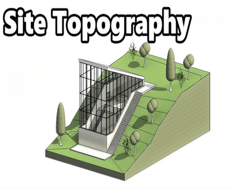
Overview of Topographical Features
The site’s topography refers to the physical characteristics of its surface—such as elevation, slope, and land contours. These factors directly influence construction feasibility, drainage design, and grading requirements.
- Flat or gently sloped sites are ideal for industrial development
- Steep grades may require extensive earthwork or retaining structures
- Elevation changes affect utility placement, access roads, and stormwater flow
Impact on Development and Site Design
Topography plays a critical role in determining how the land can be utilized, how buildings are oriented, and where infrastructure is placed. It also affects compliance with zoning and environmental regulations.
- Irregular terrain may reduce buildable area or increase development costs
- Affects site layout for parking, truck circulation, and loading zones
- Influences grading permits, erosion control plans, and drainage systems
Methods of Assessing Site Topography
Topography is typically evaluated using site surveys, contour maps, and GIS data. These tools help engineers and planners determine the site’s suitability for industrial use.
- Topographic surveys provide detailed elevation data for design and permitting
- USGS and local GIS platforms offer contour and slope maps
- Site visits and drone mapping help visualize terrain and identify obstacles


