Topography and Elevation of the Land
General Topography
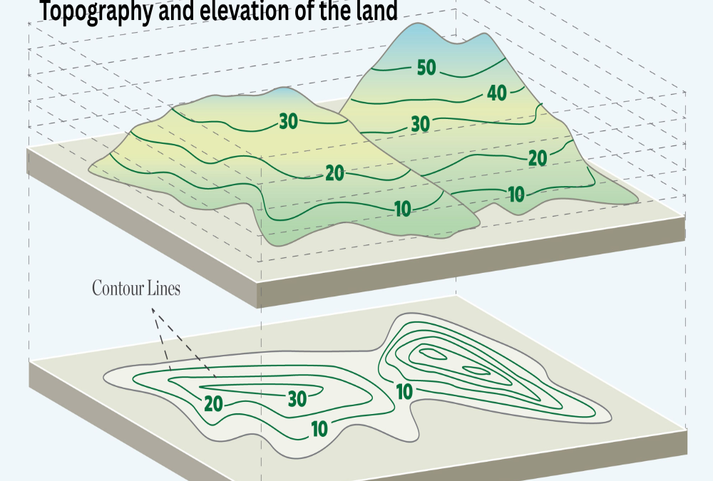
Topography refers to the physical features of the land such as slope, contour, soil level, and drainage pattern. A favorable topography is essential for industrial development as it impacts construction cost, grading, and infrastructure planning.
- Preferred industrial land is relatively flat or gently sloping
- Minimizes need for earthwork, retaining walls, or leveling
- Supports easier drainage, road layout, and building design
Elevation Characteristics
Elevation refers to the land’s height above sea level and its relation to surrounding areas. Higher elevation with good natural drainage is ideal to prevent waterlogging or flood risk.
- Industrial sites typically require land that is slightly elevated from road level
- Low-lying plots may need landfilling or stormwater management solutions
- Elevation consistency is key for multi-acre or phased development
To Verify Topography and Elevation
- Site survey reports or contour maps provided by a licensed surveyor
- Satellite images or GIS data available from local planning authorities
- On-site inspection to assess slope, terrain variation, and water flow