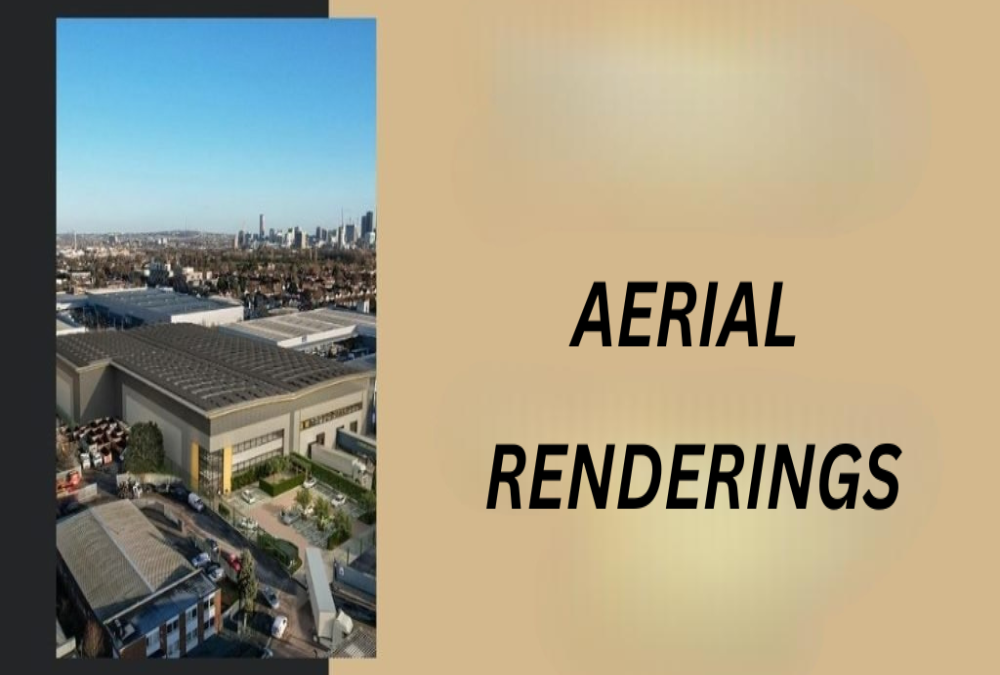
Aerial Photography and Drone Views
Aerial and drone visuals provide a complete overview of the land’s layout, surroundings, and connectivity. These help potential buyers understand access points, road links, and adjacent developments.
- High-resolution drone shots from different angles
- Overlays showing nearby highways, parks, or infrastructure
- Wide-angle views to show scale and terrain
Conceptual Renderings and 3D Views
Renderings bring the site to life by showing how it can be developed in the future. These are excellent for marketing to investors, developers, or businesses planning build-to-suit spaces.
- 3D models of proposed buildings, warehouses, or factory layouts
- Simulated landscaping, fencing, and road networks
- Option to present multiple development types (manufacturing, logistics, MSME)
Detailed Site Plans and Layout Maps
Site plans are essential for showcasing plot dimensions, access roads, zoning, and utility points. They help technical buyers or consultants make accurate assessments.
- Scaled layout showing entry, exit, and road width
- Marking of power lines, drainage, and infrastructure zones
Plot division for phased or multi-user development