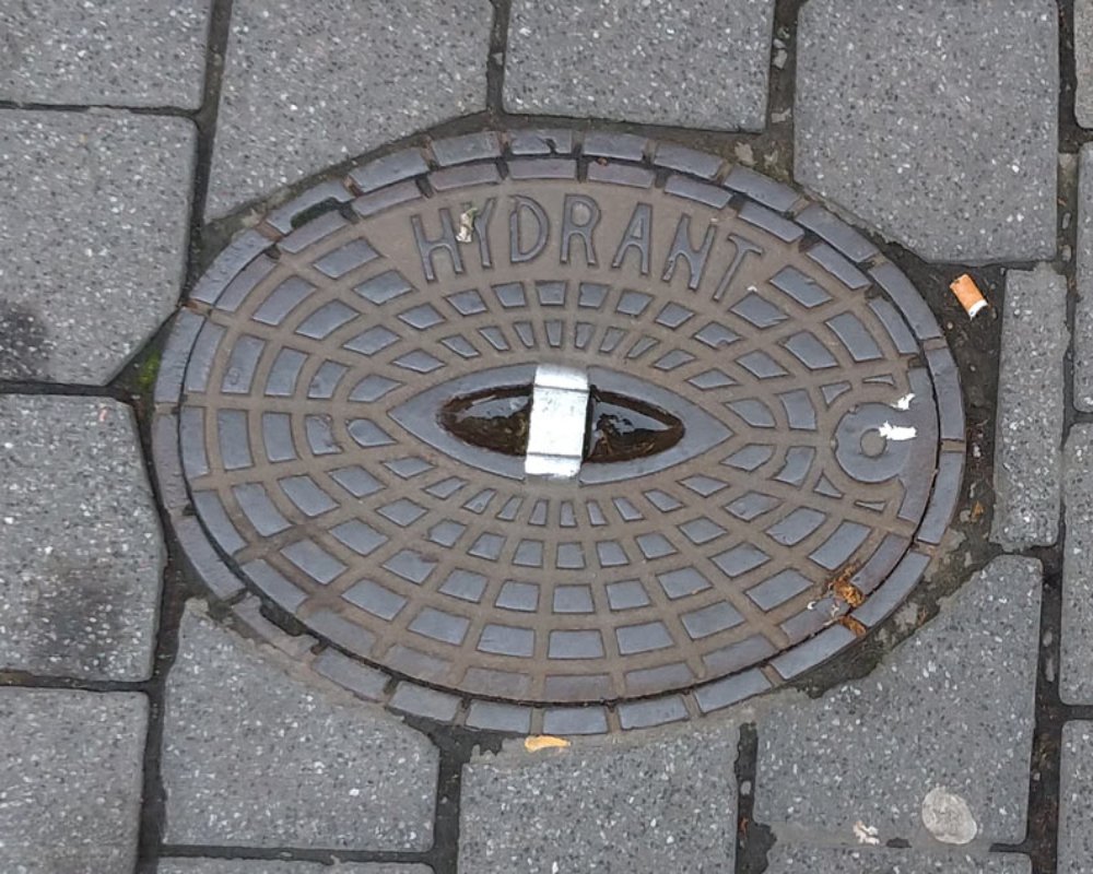
Identified on Civil Engineering and Utility Plans
Manholes and fire hydrants are precisely located on approved civil site plans, utility layout drawings, and grading plans. These documents are prepared during the design phase and are used for permitting and construction.
- Manholes are shown along sewer and stormwater lines with reference distances
- Fire hydrants are placed based on local fire code spacing requirements
- Plans include symbols, dimensions, and elevations for each feature
Positioned for Access, Safety, and Maintenance
Placement of manholes and hydrants follows specific engineering and safety standards to ensure accessibility for maintenance crews and emergency responders.
- Manholes are located at pipe junctions, changes in direction, or slope transitions
- Hydrants are typically positioned at road corners, drive entries, or property boundaries
- Both are installed within easements or public rights-of-way for access
Confirmed Through Field Inspection and GIS Mapping
Actual locations can be verified on-site using visual markers or underground locating services. Municipal GIS systems often provide detailed infrastructure maps accessible to the public or through planning departments.
- Hydrants are visible and often color-coded for flow rate identification
- Manholes may have surface covers labeled “SEWER” or “STORM”
- GIS tools show coordinates, utility connections, and maintenance history


