Shown on Utility Maps and Engineering Plans
The nearest utility connection points—such as for water, sewer, electricity, gas, and telecom—are typically identified on civil engineering drawings, utility layout plans, or municipal infrastructure maps. These show the physical tie-in locations relative to the site.
- Commonly located at the edge of the property, within easements or rights-of-way
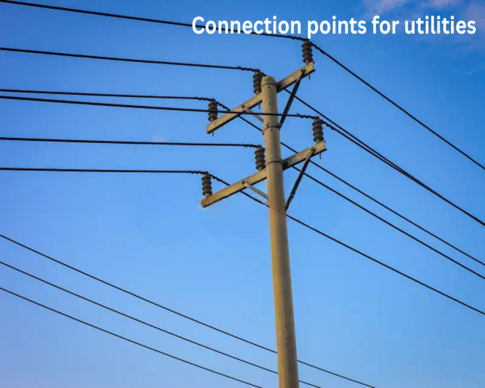
- Includes valve boxes, manholes, power poles, transformers, and telecom handholes
- Marked with distances and elevations to assist with design and installation
Determined by Proximity to Public Infrastructure
Utility connection points are placed where the property can most easily access existing public infrastructure networks. Their distance from the site affects installation cost and feasibility.
- Water and sewer mains often run beneath adjacent streets or alleys
- Power lines may be overhead along roadways or buried underground in utility corridors
- Gas and fiber-optic lines typically enter from utility right-of-way near the front or rear of the lot
Confirmed by Utility Providers and On-Site Location Services
To verify the precise connection points, developers or engineers coordinate with local utility providers or request underground utility locating services. This ensures safe and compliant design.
- Utility companies provide connection drawings, service availability letters, or tap locations
- Utility locate services mark on-site points for trenching and construction planning
- GIS databases and public works departments offer infrastructure maps


