Indicated on Site Plans and Utility Layout Drawings
The entry points for utility lines—such as water, sewer, electricity, gas, and telecommunications—are shown on civil engineering or utility layout plans. These documents specify the exact location where each utility connects to the property.
- Typically marked at the property boundary, near roads or easements
- Include connection points, service line paths, and meter or vault locations
- Designed to align with building access and minimize site disruption
Determined by Infrastructure Location and Utility Design Standards
Utility lines enter the site based on proximity to public infrastructure and the technical requirements of each service provider. Placement is guided by accessibility, safety, and operational efficiency.
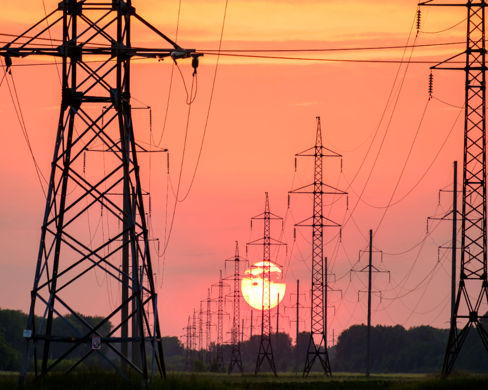
- Electrical and telecom lines often enter from utility poles or underground conduits
- Water and sewer lines typically connect from street mains or utility corridors
- Gas lines follow regulated depth and clearance standards near entrances
Verified Through Field Inspections and Utility Locating Services
To confirm existing utility entry points, professional locators use tools such as ground-penetrating radar or electromagnetic detection. This step is essential before construction or excavation.
- 811 call centers (in the U.S.) coordinate utility markings on-site
- Painted surface markers and flags indicate line type and direction
- Helps prevent utility damage, safety hazards, and code violations


