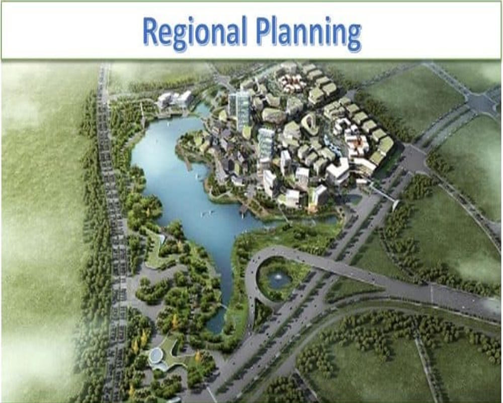
1. Refer to Regional and Master Plans
Most Indian states, including Tamil Nadu, publish master or regional development plans that classify land for specific uses—such as residential, commercial, industrial, agricultural, or conservation. These documents are typically prepared by urban development authorities like the CMDA (Chennai Metropolitan Development Authority) or DTCP (Directorate of Town and Country Planning). They outline:
- Zoning classifications and permitted land uses
- Future infrastructure projects (e.g., roads, transit lines)
- Proposed development corridors and investment regions
Understanding these classifications helps you assess whether your land parcel aligns with growth zones or faces restrictions.
2. Consult Local Planning Authorities and Land Records
To determine exact planning details, you should consult:
- Village maps (FMB/Chitta) and Patta records: Show plot boundaries and legal land use.
- Planning permission offices: These can clarify whether your parcel is under any developmental control regulation.
- Municipal or Panchayat offices: Useful for smaller or rural parcels, which may not fall under metropolitan authorities.
These offices can provide zoning verification certificates and confirm whether the parcel is earmarked for urban expansion or special development schemes.
3. Analyze Strategic Relevance and Infrastructure Connectivity
Even if a parcel isn’t in a current development zone, it might still have strategic value if:
- It lies along a proposed road, metro, or economic corridor
- It is adjacent to land already zoned for high-density development
- Government or private projects are planned nearby (e.g., SEZs, IT parks)
Regional planning isn’t static; aligning with upcoming infrastructure and growth trends can reveal future potential, even for currently underutilized land.


