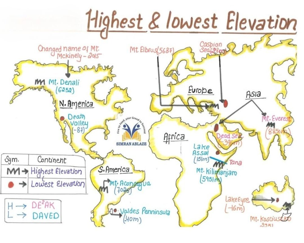
Determined by Topographic Surveys and Contour Maps
The highest and lowest elevations on a site are identified using topographic surveys or contour maps, which show changes in land elevation across the property. These tools help visualize slope direction and drainage patterns.
- Elevation lines indicate rises and falls in terrain
- The highest point is typically at the upper end of the slope; the lowest where water collects
- Survey data is measured in feet or meters above mean sea level
Impacts Drainage, Site Design, and Construction Planning
Understanding elevation extremes is essential for grading, building placement, and stormwater management. Improper site orientation can lead to water retention, erosion, or structural issues.
- Buildings are usually placed on higher ground to avoid flooding
- The lowest point is ideal for locating drainage outlets or detention ponds
- Elevation changes influence cut-and-fill requirements and foundation design
Verified Through Engineering Reports and GIS Tools
Accurate elevation data is confirmed through professional site surveys, digital terrain models, or geographic information systems (GIS) maintained by municipalities or surveyors.
- Elevations are recorded on civil plans submitted during permitting
- GIS elevation layers can show elevation profiles across large areas
- Essential for zoning, environmental reviews, and infrastructure planning


